I am looking for navigational maps and oceanographic maps from the North end of The Sea of Cortez to about 100 miles south of San Carlos. I have done a fairly extensive research but find nothing.
Hard or electronic should be fine. I can print to 11 x 17.
You could start with a copy of super grouper(purchase at PHX sportsfishing) and go from there.
There are several reefs in this book along with good tips.
I know I have a lot of work to do but at least the map will provide some form of direction for me.
If I could get one or two sets of coordinates it will help. . I have to be able to get some fish for my wife to justify going fishing. She is the BANKER in our home.
Yes, they have them for the local lakes, California, Sea of Cortez North and South, and places all over the U.S.
The FishNMaps are very good maps. I've nearly worn mine out. I use them for trip planning, calculating distances, looking at water depths, all sorts of things. I've even marked some of my GPS spots on them.
The BlueCharts program for your computer and Garmin GPS is also excelllent. it doesn't show the same level of detail as the maps, but you can zoom in and out, enter waypoints, and quickly calculate distances between waypoints. Also very useful. Lets you upload/download from your Garmin GPS to the computer, too.
I have to be able to get some fish for my wife to justify going fishing. She is the BANKER in our home.
Don't EVER try to calculate what a sport-caught fish actually cost you per pound! Your wife will make you sell everything and go to the fish market if you want fish! :lol: :lol: :lol:
With the fishing being so blah in San Carlos this year, those $200 dorado fillets had better taste mighty damn good!
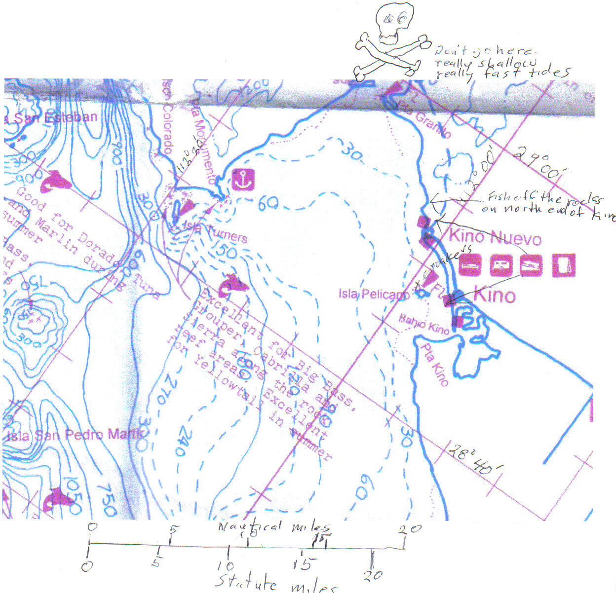
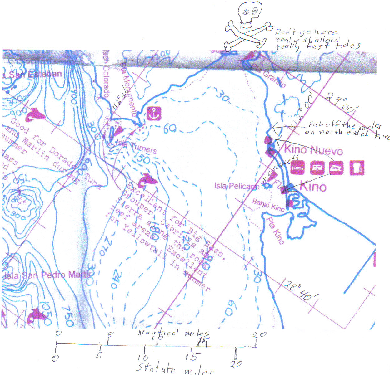
I've been using the Fish-n-Maps for years. Even with all the electronic gadgets, which I dearly love and make use of, I just feel better putting a map down to see where I am, and where I'm going. Even though they're supposed to have a weather resistant coating, I wore a couple of them out before I got smart. I have one virgin map that always stays in a drybox. I scan the area I intend to fish, and print out one or two copies of that. On one of the maps, I'll usually write down the coordinates of where I want to go, and maybe even plot a coarse. I put it on a clipboard and take notes on the map as to fish caught and/or conditions. If it's of interest, I'll scan it again when I get home, and put it in a folder I have on my computer for maps and coordinates. It's kind of fun to go over those old maps when I'm planning my next fishing trip too. This is pretty much what the printouts look like. If they get wet, or smeared or bloody, so what? Just break out the spare, and use it.